Mapping
As elections loom, congressional maps challenged as discriminatory will remain in place
With control of the House of Representatives hanging in the balance, the time-consuming appeals process means elections in multiple districts will take place using maps that have been challenged as discriminatory to voters of color.


How governments handle data matters for inclusion
Algorithms and artificial intelligence can improve the effectiveness and efficiency of public services. But if underlying data is not handled thoughtfully, it can mirror and perpetuate existing inequalities.
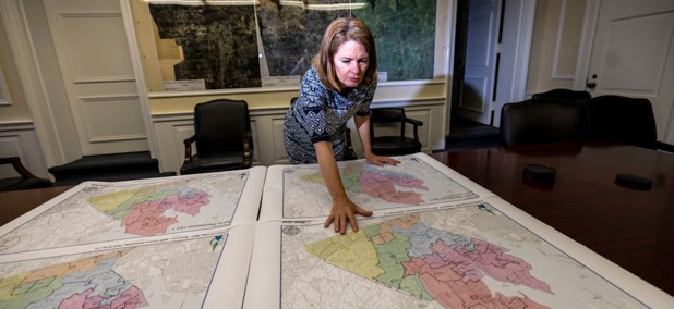
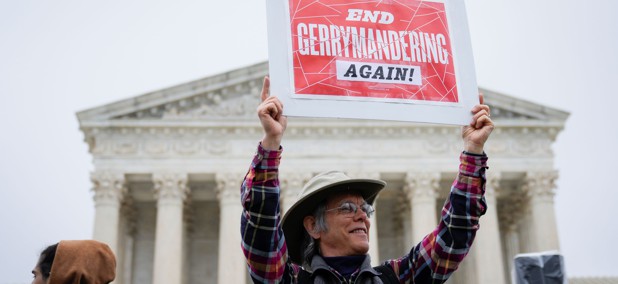
The failed promise of independent election mapmaking
In Washington and other states, independent redistricting commissions have fallen prey to partisanship, just like the legislative bodies they were meant to replace.


Food for thought: Data tool maps food, climate and racial equity risks
A new data tool breaks down existing data and policy silos so state and local governments can identify and reduce those interconnected risks.

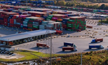
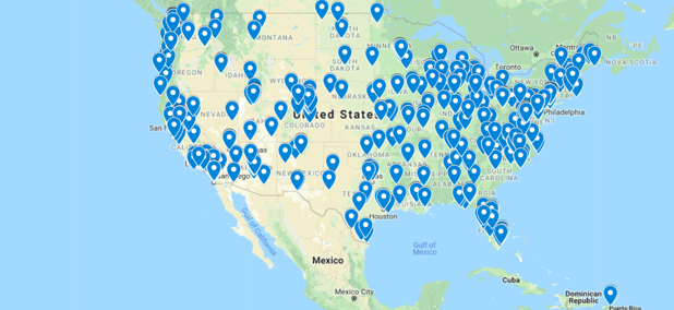
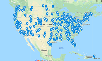
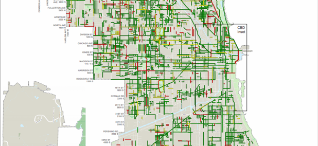
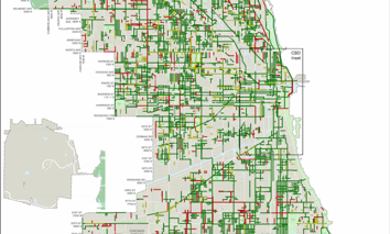
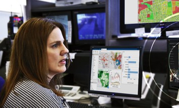
County’s advanced mapping tool supports development decisions
Henry County, Georgia, used it to decide where freight facilities should go. But the computer-based tool could be repurposed to help other communities address their hot-button issues.


How One State Tracks Down Cartographic ‘Phantoms’
To improve the accuracy of its maps, the Wisconsin State Cartographer’s Office is weeding out small rural communities that no longer exist.


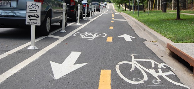
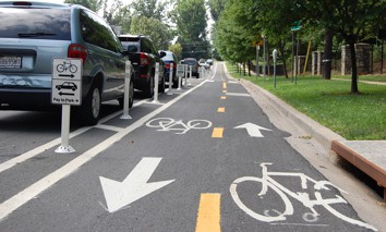
Virginia Gives Its Transit Agencies Access to Planning Software
The software helps agencies find gaps in their transportation networks and understand where service can be added or refined. It can also analyze demographic data to ensure that service is as equitable as possible.


VR Map Tracks ‘Silent Killer’ of Extreme Heat
A 3-D map of Washington, D.C., overlaid with temperature data illustrates urban heat islands and shows neighborhoods that are most at risk.


Nonprofit Cites ‘Inaccuracies’ in New Broadband Maps
Open internet advocate Public Knowledge urged the FCC to clarify the challenge process, the availability of satellite internet and the role of anchor institutions.


A City Seeks Digital Maps of Its Public Building Interiors
As original blueprints are no longer accurate, Aurora, Illinois, wants indoor, "digital twin" imaging to update records and increase public safety.


Visualizing Vulnerability: County Maps Show Areas of Greatest Need
To study equity differences at systemic and place-based levels, Fairfax County put census data on color-coded maps so that officials can quickly see areas of greatest need.
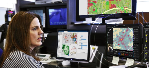
Sensing Disaster: Using Tech to Improve Preparedness in New York City
COMMENTARY | Increased adoption of GIS technologies can help New York predict and prepare for future emergencies.
Featured eBooks